Doss-Gollin Research Group
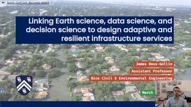
The Doss-Gollin Research Group at Rice University’s Department of Civil and Environmental Engineering studies how flood risk in cities is changing, and how to plan infrastructure that holds up as it does. We build probabilistic hazard models and decision-support tools, integrating Earth science, AI, and decision analysis to characterize changing hazards, quantify their impacts on the built environment, and design adaptive risk-management strategies. We co-develop these tools with structural engineers, water managers, industry, and community organizations.
Prospective students and postdocs: see how to join the group.
News
- Jul 2026Yuchen Lu successfully defended her PhD thesis, "Probabilistic Analysis of Nonstationary Hydroclimate Extremes," on July 15, 2026.
- Jul 2026John (Jack) Baer, James, and coauthors show that design storms systematically misrepresent flood hazard and risk by neglecting the spatial and temporal structure of rainfall.
- May 2026James received a five-year NSF CAREER award to study how cities can combine flood and stormwater infrastructure to manage flood risk.
- Jan 2026James spoke with the Wall Street Journal about the accuracy and limitations of national property-level flood risk scores.
- Jan 2026Adam Pollack (Iowa), James, and coauthors argue in a new PNAS paper that climate-risk research needs more transparency and reusability.
- Dec 2025James and Yuchen traveled to AGU 2025: Yuchen presented her hierarchical Bayesian rainfall IDF poster, James gave a talk on the TxRain framework, and James chaired sessions on urban flood risk and catastrophe modeling.
No matching items
Featured Papers

Unlocking the Benefits of Transparent and Reusable Science for Climate Risk Management
Proceedings of the National Academy of Sciences

UNSAFE: An UNcertain Structure and Fragility Ensemble Framework for Property-Level Flood Risk Estimation
Journal of Open Source Software
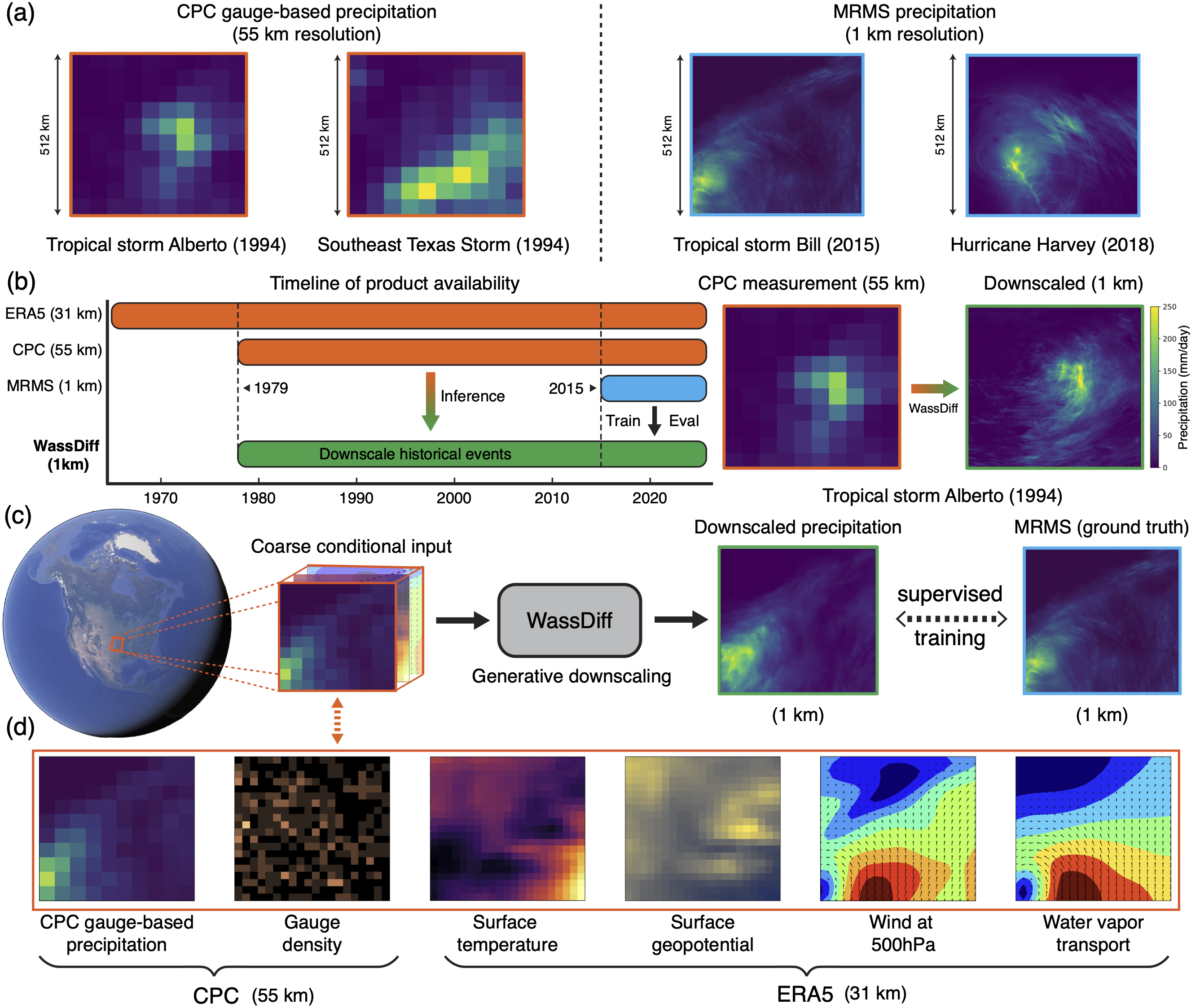
Downscaling Extreme Precipitation with Wasserstein Regularized Diffusion
IEEE Transactions on Geoscience and Remote Sensing

Bayesian Spatiotemporal Nonstationary Model Quantifies Robust Increases in Daily Extreme Rainfall across the Western Gulf Coast
Environmental Research: Climate

FloodGNN-GRU: A Spatio-Temporal Graph Neural Network for Flood Prediction
Environmental Data Science

A Subjective Bayesian Framework for Synthesizing Deep Uncertainties in Climate Risk Management
Earth's Future

How Unprecedented Was the February 2021 Texas Cold Snap?
Environmental Research Letters
No matching items